


Expats’ Guide to Expressways in the Philippines
Planning on a having a tour around the Philippines? Be familiarized with the roads you need travel along the country so you wouldn’t get lost! Here’s a list of the operational expressways from North to South that you need to know:
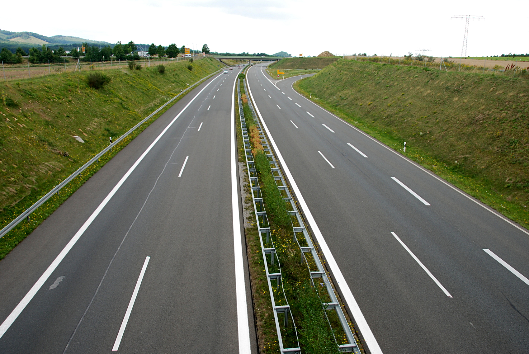
- North Luzon Expressway (NLEX)
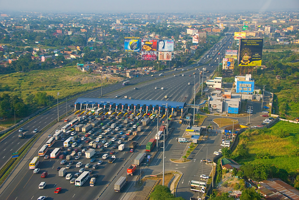
NLEX. Image grabbed from Asian Development Bank grabbed via flickr.com
This 84-km expressway connects Metro Manila to provinces of Central Luzon. It begins in Quezon City at Balintawak Interchange that passes through Quezon City, Caloocan, and Valenzuela in Metro Manila. It also passes through Meycauayan, Marilao, Bocaue, Balagtas, Guiguinto, Malolos, Plaridel, Pulilan, and Calumpit. Lastly, it passes through towns of Pampanga in Apalit, San Simon, San Fernando, Mexico, and Angeles. It ends at Mabalacat and merges with MacArthur Highway. It has 4 Toll plazas and 15 Highway exits.
NLEX-Mindanao Avenue Link with 2.7 kms links NLEX with C-5 in Manila, while NLEX-Karuhatan Link connects NLEX with MacArthur Highway.
- South Luzon Expressway (SLEX)
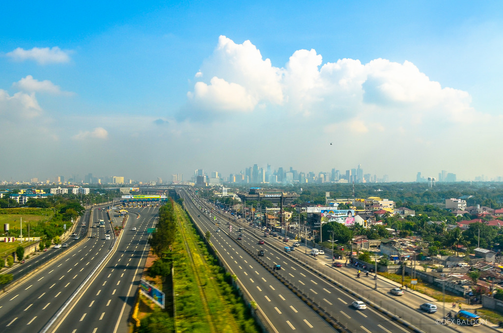
SLEX. Image by Dexter Baldon, grabbed from flickr.com
This expressway connects Metro Manila to provinces in CALABARZON (Cavite, Laguna, Batangas, Rizal, and Quezon). It starts in Paco District in Manila at Quirino Avenue then passes through Manila, Makati, Pasay, Parañaque, Taguig, and Muntinlupa in Manila. It also passes through San Pedro and Biñan, Carmona in Cavite, then again to Biñan, Santa Rosa, Cabuyao, Calamba, and ends in Sto. Tomas, Batangas. It is 60 km in length with 23 highway exits and 6 lanes.
- Manila-Cavite Expressway (CAVITEX)
CAVITEX. Image grabbed from Cavite Infrastructure Corporation
This 14 km expressway links Manila to Cavite. It is also called Coastal Road because it is near Manila Bay. At the north end it feeds into and from Roxas Boulevard and ends in South along Kawit, Cavite in both Tirona Highway and Antero Soriano Highway. The left goes through Binakayan to Bacoot then proceeds to Soriano to Cavite Economic Zone. The right part proceeds to Tirona Highway near Aguinaldo Shrine, towards Noveleta. It has 4 hgihway exits with 4 lanes.
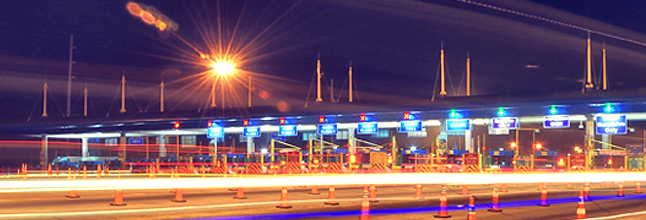
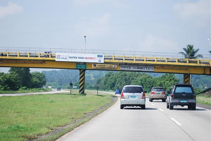
- Subic-Clark-Tarlac Expressway (SCTEX)
SCTEX. Image grabbed from The Regina Northview
SCTEX is the country’s longest expressway at 93.77 kilometers. The southern terminus of SCTEX is at Subay Bay Freeport in Zambales, passing through Clark Freeport Zone. SCTEX is linked to NLEX in Mabalacat Interchange. It has 12 highway exits and 3 toll plazas.
Subic Tipo Expressway with 8.8 km links SCTEX to Olongapo and Subic Freeport Zone.
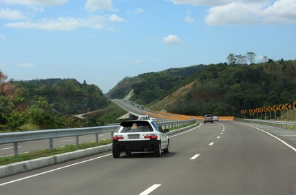
- Tarlac-Pangasinan-La Union Expressway (TPLEX)
TPLEX. Image grabbed from tungkab.wordpress.com
This expressway which has just been recently opened connects central to Northern Luzon. Its southernmost terminal is found at Tarlac City, Tarlac to its northernmost at Rosario, La Union. The first phase starts with Tarlac City to Rosales, Paangasinan, Phase 2 with Rosales, Pangasinan to Urdaneta, Pangasinan, and Phase 3 with Urdaneta City, Pangasinan to Rosario, La Union. It has 10 highway exits and 2 toll plazas.
- Southern Tagalog Arterial Road (STAR Tollway)
STAR TOLLWAY. Image grabbed from Wikimapia
This expressway is found in the province of Batangas. It starts at the Pan-Philippine Highway intersection and SLEX in Santo Tomas which runs southwards. It passes through the towns of Malvar, Tanauan, Lipa, and Ibaan in Batangas. It has a length of 41.90 km andf has 6 hgihway exits.
- Metro Manila Skyway
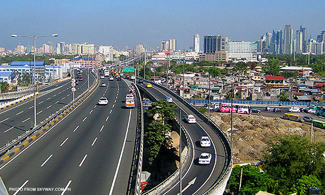
SKYWAY. Image grabbed from skyway.com.ph
The Skyway is an elevated highway and motoeway which is the main expressway of the southern paret of Metro Manila. It stretches from Gil Puyat Avenue to Alabang-Zapote Road and crosses through Quezon City, Manila, Makati, Pasay, Taguig, Parañaque, and Muntinlupa. It is 17 km long with 10 highway exits and 3 exit ramps. Its current exits are Buendia, Amorsolo, Don Bosco, and Magallanes in Makati, NAIA Terminal 3 in Pasay, Doña Soledad and Dr. A. Santos in Parañaque, and Skway Alabang Main Toll Plaza A and B, Hillsborough, and Alabang South Station in Muntinlupa.
- NAIA Expressway
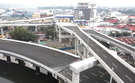
NAIA EXPRESSWAY. Image grabbed from Manila Times
This elevated expressway runs from Metro Manila Skyway to Diokno Avenue, Ninoy Aquino Avenue, and NAIA Road near Terminal 3. It is the first airport expressway in the country and is located in cities in Manila in Pasay, Parañaque, and Taguig.
Check this website for regular updates on toll fees.
Source: DPWH, Toll Regulatory Board


