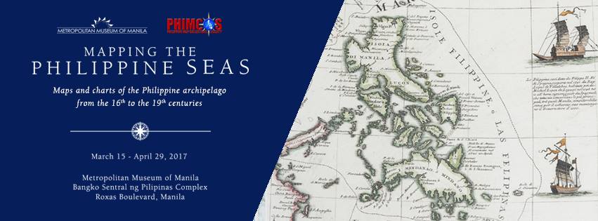
Mapping the Philippine Seas Exhibit at the MET 2017
The Metropolitan Museum of Manila’s latest exhibition, on view to the public starting March 15 until April 29, on antique Philippine maps and sea charts is an informative and nostalgic throwback to centuries past, when the aspiration was to map the Philippine shores to help foreign voyagers navigate the wide open waters in their quests to discover, conquest and establish political and economic relations in the country.

Mapping the Philippine Seas features 168 original maps and sea charts, generously loaned for the exhibit by members of the Philippine Map Collectors Society (PHIMCOS), the GSIS Museum, and the several other private collectors. Dating from the early 16th century to the late 19th century, these valuable maps and nautical charts emphasize the Philippines’ crucial position in the history of maritime trade in the Asian region, and its importance in the European colonial conquests and trade explorations.
The Metropolitan Museum of Manila is located at the Bangko Sentral ng Pilipinas Complex, Roxas Blvd., Manila. Museum hours are from 10 a.m. to 5:30 p.m., Mondays to Saturdays. For more inquiries, email info@metmuseum.ph or call 708-7829.
Event Details
What: Mapping the Philippine Seas Exhibit at the MET 2017
When: March 15 to April 29, 2017
Where: Metropolitan Museum of Manila, Bangko Sentral ng Pilipinas Complex, Roxas Blvd., Manila
Source: Mapping the Philippine Seas Exhibit at the MET 2017, metmanila


